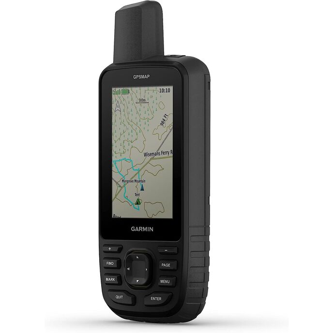

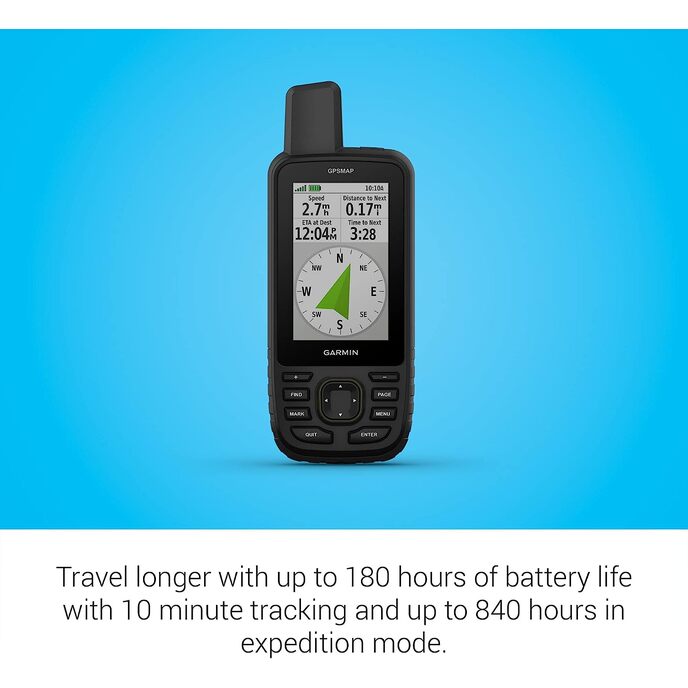
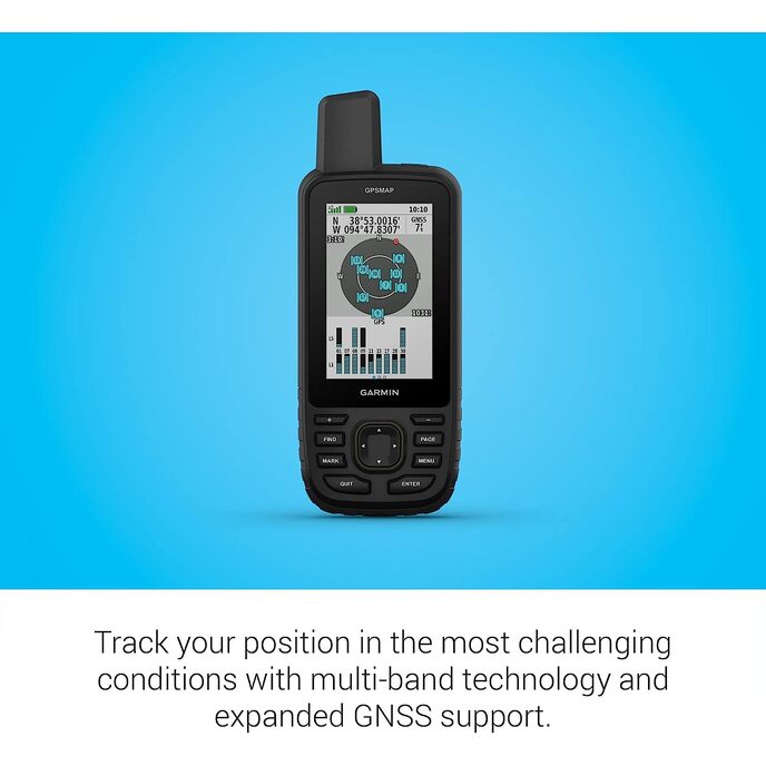
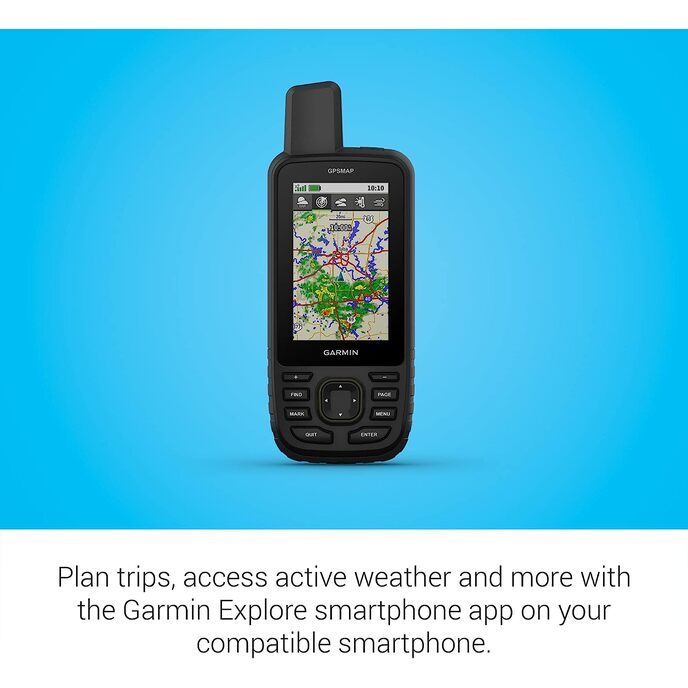
Pojdite na raziskovanje na prostem z ročno napravo GPSMAP® 67. Ta vrhunska, robustna dlančnik ponuja večpasovno tehnologijo in razširjeno podporo GNSS za večjo natančnost v strmih pokrajinah, mestnih kanjonih in gozdovih z gostim drevjem. Ima 3-palčni barvni zaslon in ponuja do 180 ur delovanja baterije v standardnem načinu in do 840 ur v ekspedicijskem načinu. Poln je navigacijskih senzorjev, zemljevidov TopoActive, ki jih je mogoče usmeriti, in dostopa do satelitskih posnetkov. Povežite ga z združljivim pametnim telefonom za dostop do aktivnega vremena, Geocaching Live in aplikacije Garmin Explore™. Z naročnino Outdoor Maps+ si zagotovite dostop do premium vsebine zemljevidov.
EAN: 0753759308698
kategorije Elektronika, GPS, Iskalniki in dodatki, GPS enote, ročne GPS enote,
| Batteries | 1 Lithium Ion batteries required. |
| Brand | Garmin |
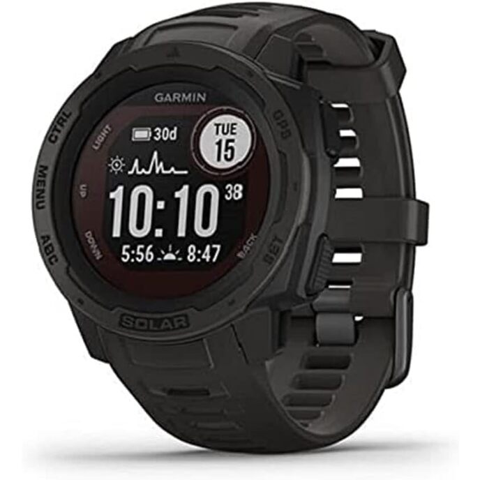
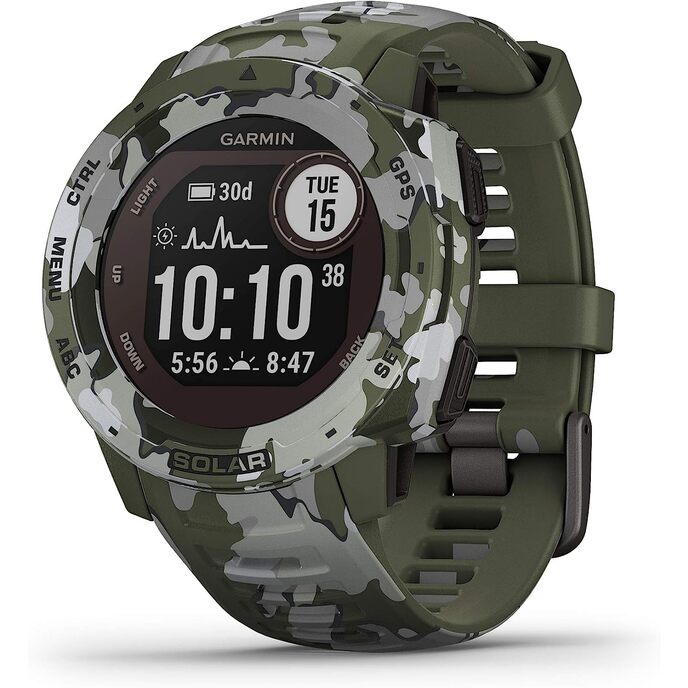
| Color | Black/Green |
| Connectivity technologies | Bluetooth, USB |
| Customer Reviews | 3.7 3.7 out of 5 stars 8 ratings 3.7 out of 5 stars |
| Human Interface Input | Buttons |
| Item Dimensions LxWxH | 2.5 x 6.4 x 1.4 inches |
| Item model number | AA4624 |
| Item Weight | 8.1 ounces |
| Manufacturer | Garmin |
| Map Type | North America |
| Model Name | Garmin GPSMAP 67 series |
| Mounting Type | Found in image, Wrist Mount |
| Other display features | Wireless |
| Product Dimensions | 2.5 x 6.4 x 1.4 inches |
| Screen Size | 3 Inches |
| Sport | Camping & Hiking, Outdoor Lifestyle |
| Whats in the box | GPSMAP 67 or GPSMAP 67i handheld device, type-A to type-C USB cable, carabiner clip, documentation |
| Wireless communication technologies | Bluetooth |